
Neighbourhoods
Alvalade
Neighbourhood planned in the 1940s by architect Faria da Costa, served by the Alvalade and Roma Metro stations.
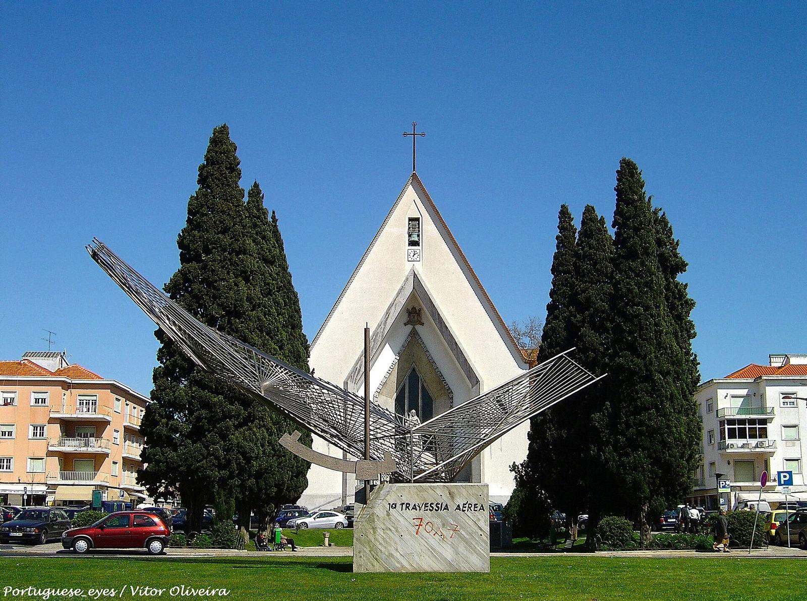
Between 1940 and 1945, municipal architect Faria da Costa designed the urban plan south of Avenida Alferes Malheiro. Construction began in 1947, and the plan organised the area into 8 units, each centred on a school. Mercado de Alvalade Norte is on Avenida do Rio de Janeiro.
Alvalade is a residential part of Lisbon where street-level commerce and neighbourhood amenities shape daily life. Avenida da Igreja is a key local axis and a useful starting point for visitors who want to see a different side of the city.
Top sights

Markets · Alvalade
Mercado de Alvalade Norte
Municipal market on Avenida do Rio de Janeiro, with fresh food, bakery, ice cream, places to eat and a playground.

Concert halls and theatres · Alvalade
Teatro Maria Matos
A theatre on Avenida Frei Miguel Contreiras, served by Roma metro station and with its own box office.
Museums · Alvalade
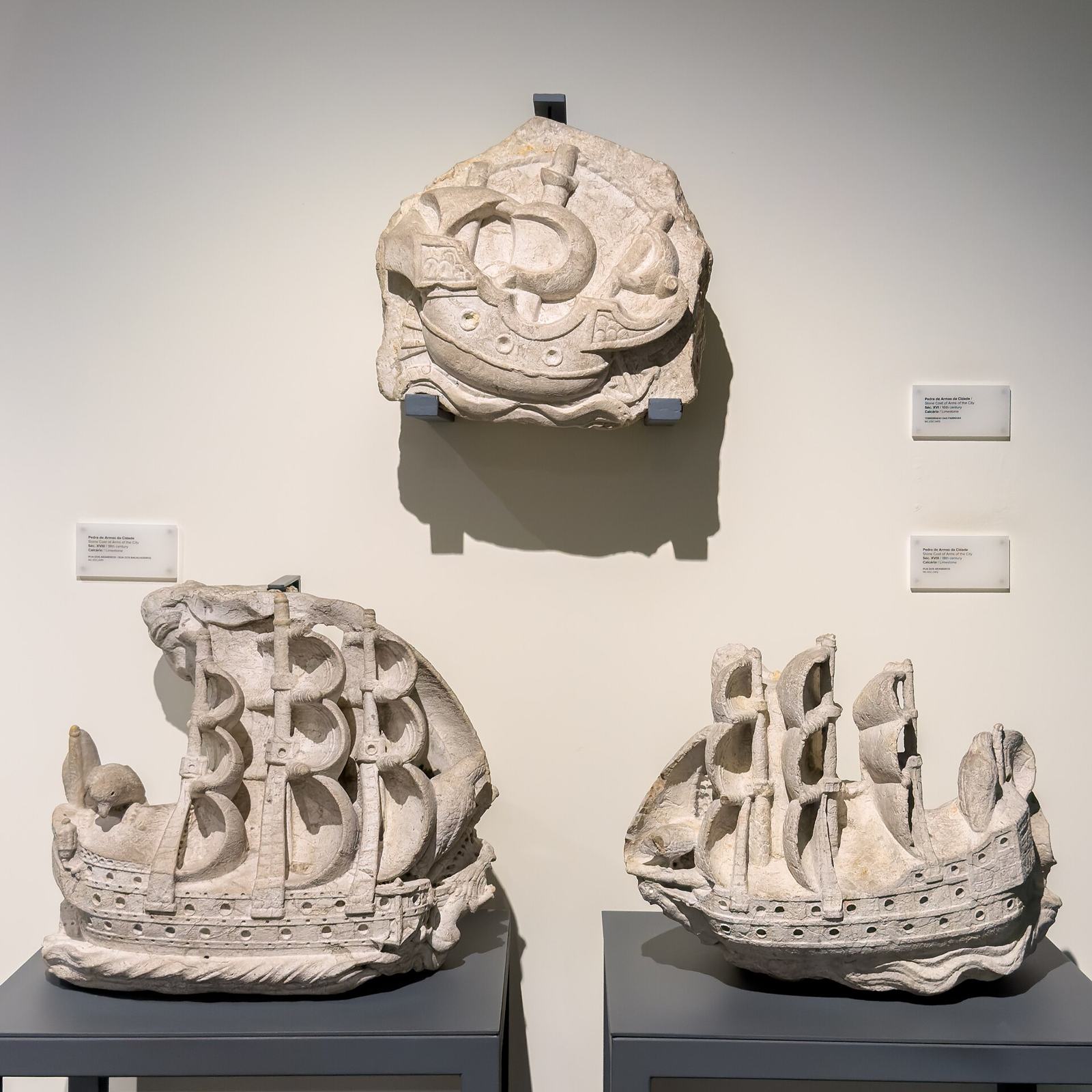
Museu de Lisboa - Palácio Pimenta
Discover Lisbon’s history through archaeology, paintings and a model of the city before the earthquake.
Museums · Alvalade
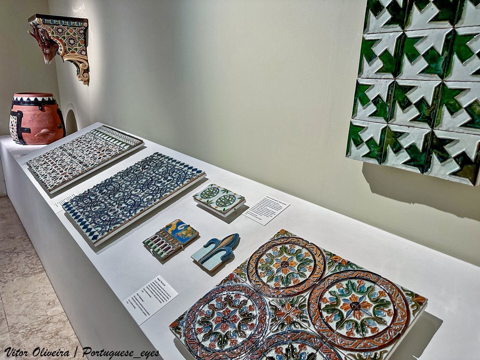
Museu Bordalo Pinheiro
Museu Bordalo Pinheiro, at Campo Grande in Alvalade parish, preserves and shares the work of Rafael Bordalo Pinheiro.

Gardens · Alvalade
Jardim Mário Soares
Explore the garden at Campo Grande, with lakes, statues and outdoor leisure spaces.
Food & drink
Map
Shopping streets and everyday life
Combine a walk along Avenida da Igreja with independent stores or a local market, checking opening times. Alvalade is better suited to unhurried exploration than to rushing between monuments.
Fit Alvalade into your day
Choose a short walk, then use transport links to explore another neighbourhood. The events calendar can reveal occasional activities nearby.
Frequently asked questions
Is Alvalade a major tourist district?
It is primarily residential and commercial, offering a look at everyday Lisbon.
Where should I start?
Avenida da Igreja is a central axis identified in municipal planning documents.
On the agenda nearby
- Carlos AntunesFri 13 Nov · Centro de Documentação do Edifício Central do Município
- Mostra Imaginários da LusofoniaFri 13 Nov · Cinema Fernando Lopes
- Amelie Von WulffenFri 13 Nov · Culturgest
- Mané PachecoFri 13 Nov · Appleton - Associação Cultural
Source: Agenda Cultural de Lisboa (CC BY). Events